Services and Projects
The Geospatial Center provides geospatial services to students, faculty and staff at Lamar University, as well as to governmental, non-profit and commercial organizations. Consultations are free; project fees will be assessed on a case-by-case basis.
Service Examples
- GIS data and database development
- Cartography and mapping services
- Satellite multispectral, hyperspectral and radar data processing and analysis
- Drone hyperspectral, multispectral and LiDAR Photogrammetry
- Digital Elevation Models (DEMs), Digital Surface Models (DTMs) and 3D visualization
- Geological mapping and mineral resources
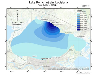
- Water resources and water quality services include collect water quality data, measure, monitor and predict and achieve water quality regulatory compliance
- Wetland services encompass delineations, determinations, evaluations, restoration and mitigation planning
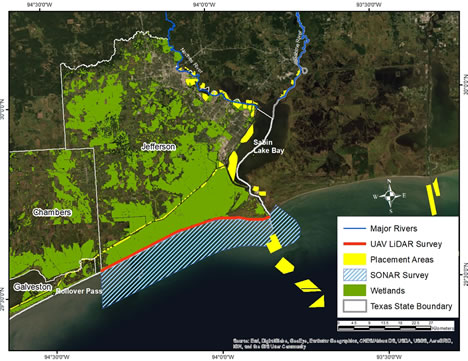
- Coastal restoration, measure, monitor and predict coastal erosion and coastline changes
- Vegetation analysis includes vegetation classifications, measuring vegetation density, vegetation health, crop yield and crop water footprint
- Land use and land cover change analysis
- Pipeline, oil leak and gas leak detection
- GIS training services include ArcGIS software, ENVI software and design and implement a GIS project.

Projects
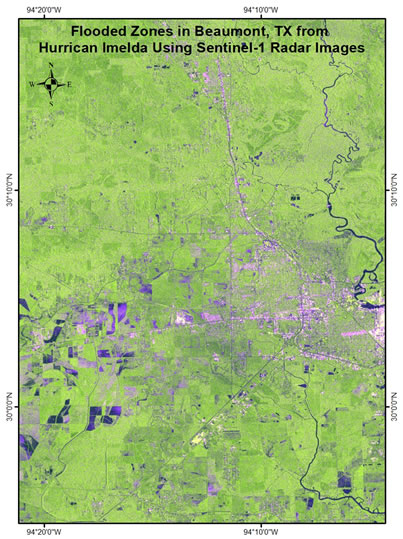
- Employing Sentinel-1 SAR Imagery for Mapping Flooded Zones in Southeast Texas from Hurricane Imelda
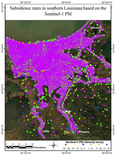
- Sentinel-1 DInSAR Time-Series Analysis of Land Subsidence in Southern Louisiana
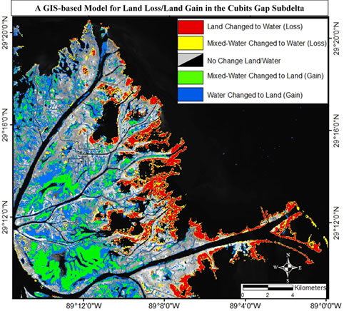
- Geospatial Modeling and Analysis for Optimizing Coastal Restoration Using Advanced and Emerging Sensors